In the digital age, access to precise satellite data becomes key for understanding and responding to environmental changes. The Satellite for Environment project, carried out by the Institute of Meteorology and Water Management in collaboration with the Academic Computer Centre Cyfronet, aimed to transform raw satellite data into accessible, digital information available to a wide range of users.
Challenge
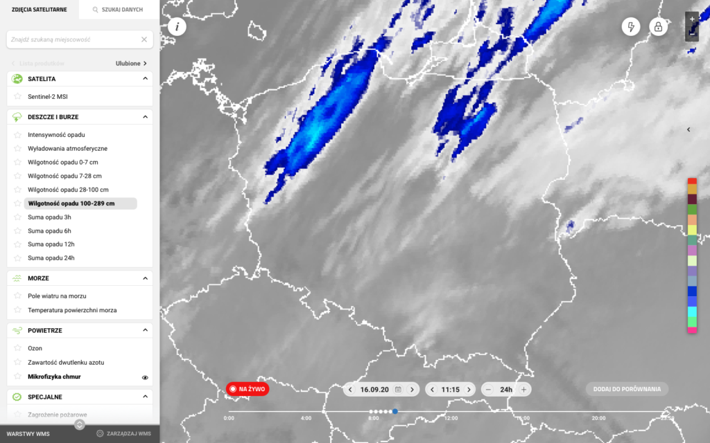
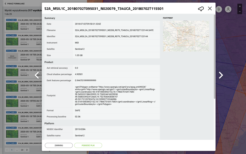
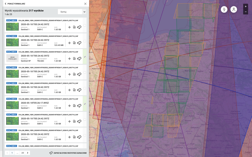
Data availability: How to make vast amounts of raw satellite data user-friendly?
Practical use: How to ensure that the data are useful in the daily work of professionals and scientists?
Education and popularization: How to promote knowledge about satellite data and their significance for the environment?
Discovery and definition
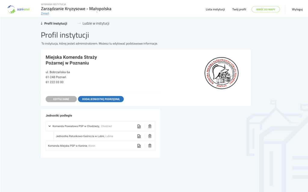
Stakeholder interactions: A series of workshops and meetings with key users, including experts from the Institute of Meteorology and Water Management and employees of the Crisis Information Centre, allowed for a deep understanding of their needs.
Research and feedback: In-depth interviews and surveys of over 500 users provided insight into the daily challenges and expectations regarding satellite data.
Key findings:
The need for intuitive access to data for diverse target groups.
The practical value of the data must be easily recognizable by end-users.
Data petabytes
0+
User groups
0
Satellite products
0+
Design and testing
First prototypes: Development of clickable prototype versions in Axure, focusing on key functionalities such as reporting or expert support.
Feedback and improvements: An iterative cycle of tests with end-users and business owners allowed for the identification and implementation of significant changes.
To remember:
The importance of simplicity and intuitiveness in user interface design.
Adapting the system to the specific needs of different user groups.
Implementation and results
Usability tests: Usability testing sessions, including during a scientific conference, helped refine the final interface and system functionalities.
Implementation and reception: The system was positively received by the scientific community and professionals, facilitating access to data and supporting daily work.
Achievements:
Increased awareness and use of satellite data among various target groups.
Improved decision-making and operational processes through easier access to key information.
Conclusions
The Satellite for Environment project has proven that advanced technologies and satellite data, when properly shared and interpreted, can significantly support environmental, educational, and scientific research activities. The key to success was close cooperation with end-users and continuous adaptation of the system to their changing needs.